

 2
Accident
2
Accident
Liiklusavarii tõttu liiklus seiskunud
Trams 2 and 4 at a standstill after a collision on the line.
Realtime positions, stop departures, delays and a route planner for Tallinn’s TLT and Elron network. Free, no login.
A fast, focused map for getting around Tallinn — built directly on the operators’ live GPS feeds.
Buses, trams, trolleys and trains glide across the map, accurate to within about ten seconds. Tap any vehicle to dig into the detail.
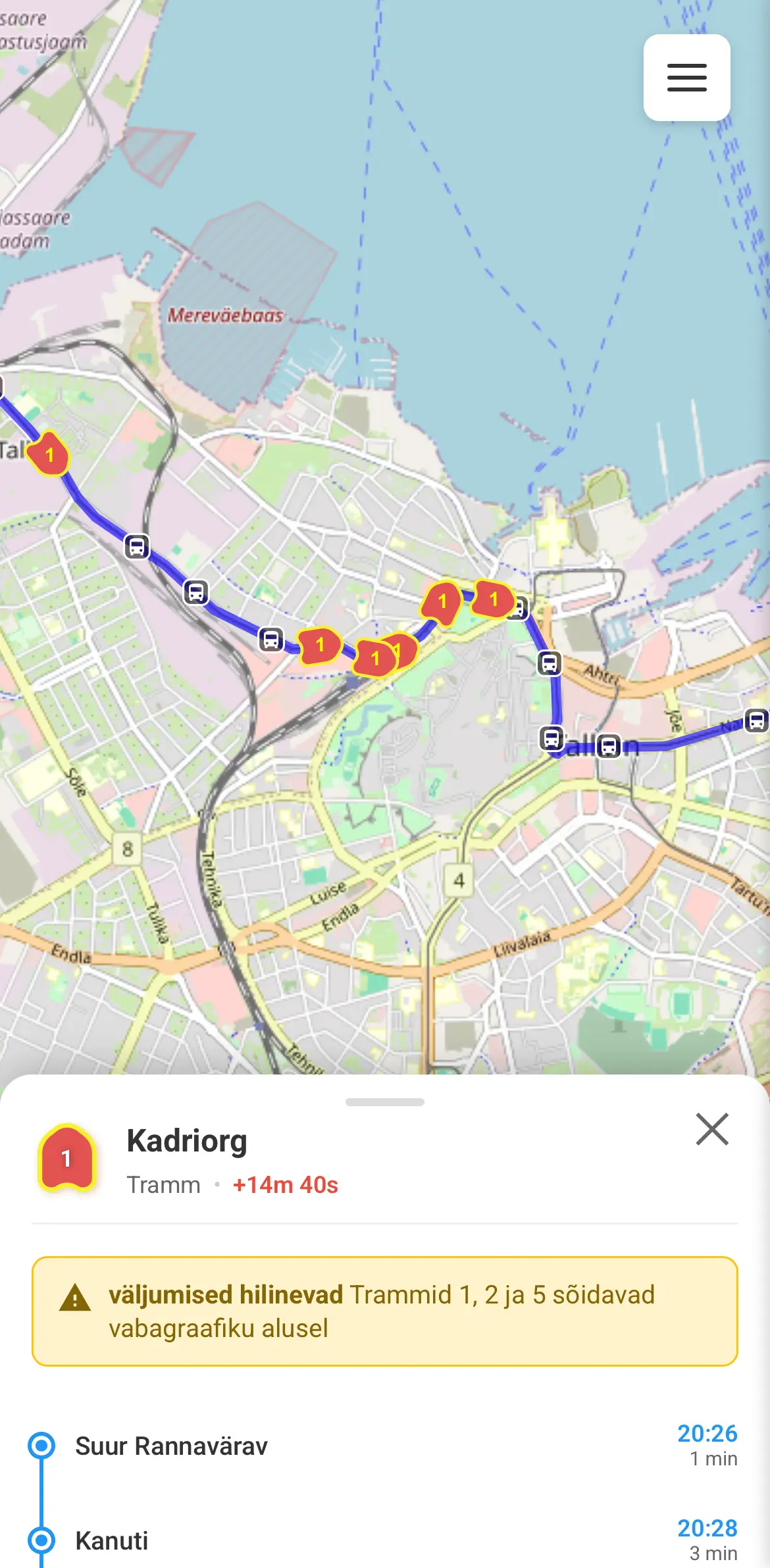
Open a vehicle to see its current delay, service notices, the upcoming stop and any planned route changes — with its full route drawn on the map.
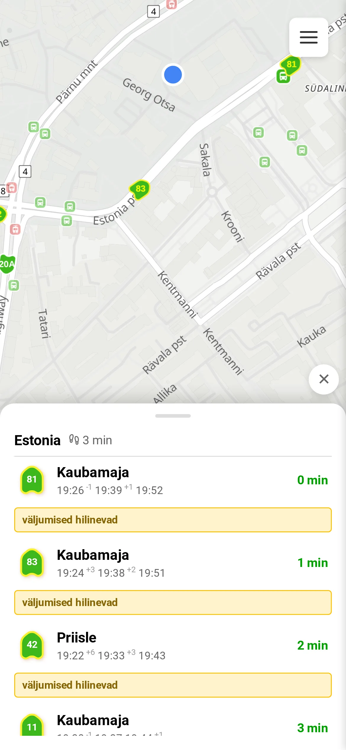
Tap a stop for every line that calls there and the countdown to each arrival. Green means a live GPS position; grey means scheduled.
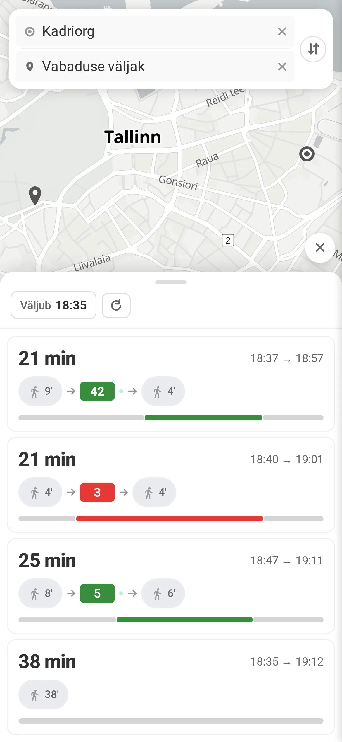
Route from A to B using live vehicle positions and recent delay history — so you also get an honest estimate of arriving on time.
Accidents, traffic jams, burst water mains, weather, road closures, city events and roadworks — TLT’s live alerts land directly on the affected lines and stops, so a hold-up never takes you by surprise.
Live positions and timetables come directly from the operators and public GTFS feeds — no scraping, no guesswork.
The short answers, before you open the map.
No app store, no account. Just open the map.
Open the live map →